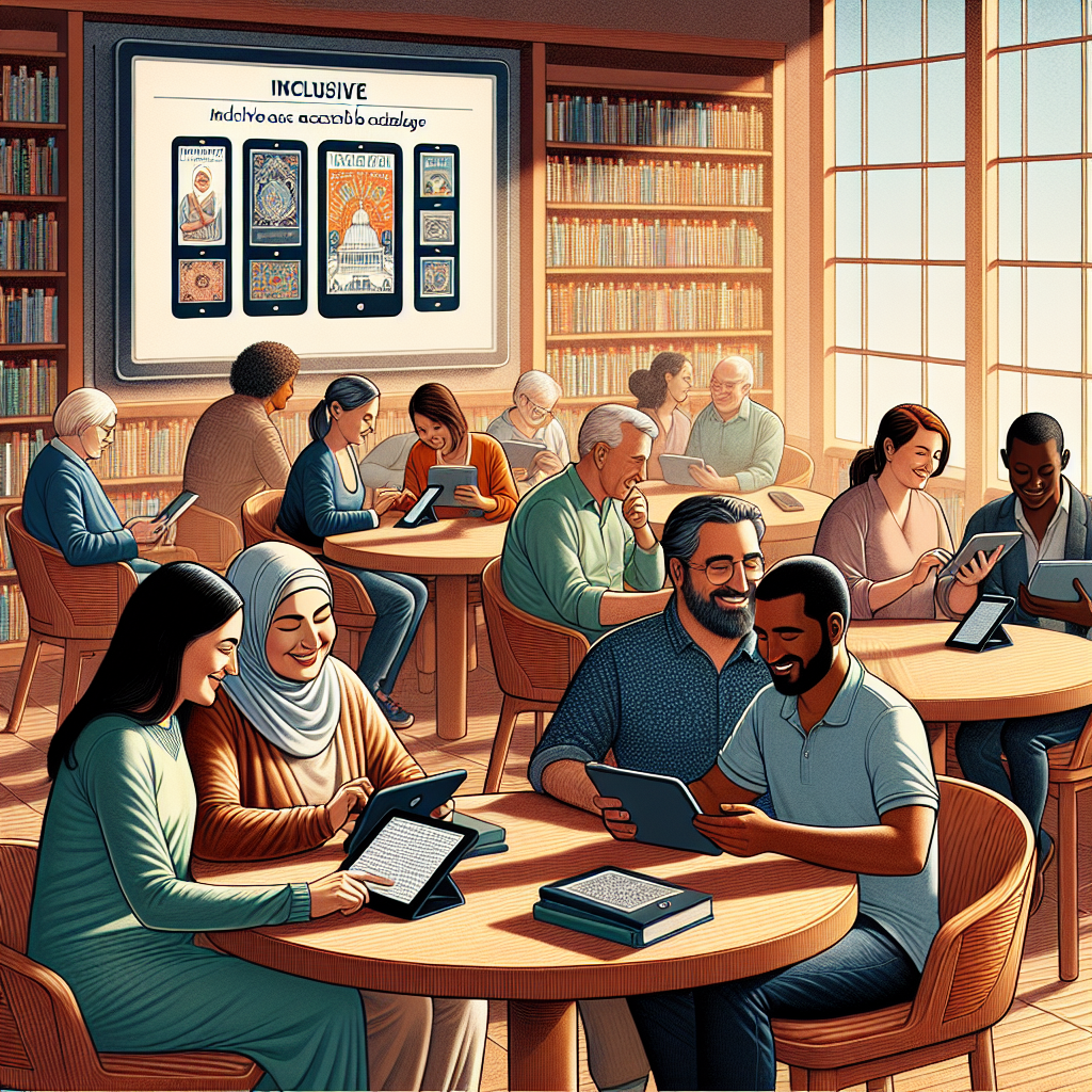
GPS technology has transformed mobility for blind and low-vision people, turning smartphones, wearables, and connected navigation services into practical tools for safer, more independent travel. In accessibility work, GPS refers to the Global Positioning System and related satellite positioning networks that estimate location outdoors, while navigation solutions combine mapping, route guidance, sensors, audio feedback, and interface design to make that location useful in real life. This matters because mobility is foundational: it affects employment, education, healthcare access, social participation, and confidence. I have seen the difference firsthand in accessibility testing sessions where a well-designed turn-by-turn prompt reduced hesitation at complex intersections, while a vague instruction caused immediate uncertainty. As part of advanced technology for accessibility, GPS sits at the center of a larger ecosystem that includes screen readers, computer vision, haptic feedback, digital mapping, and inclusive mobile design. A strong hub on this topic must explain not only what GPS can do, but also where it works well, where it fails, and how other assistive technologies fill the gaps.
For blind travelers, the core problem is not simply knowing a street name. It is understanding orientation, route options, nearby landmarks, transit connections, intersection geometry, and environmental risk in a format that can be perceived without sight. Traditional GPS apps were built for drivers glancing at screens, not pedestrians relying on spoken guidance while listening to traffic and using a cane or guide dog. That mismatch led to a wave of specialized accessible navigation tools. Today, the category includes mainstream apps with accessibility improvements, dedicated mobility apps such as BlindSquare, and integrated systems that pair GPS with cameras, inertial sensors, Bluetooth beacons, or artificial intelligence. The result is a rapidly maturing field within technology and accessibility. For organizations building inclusive products, and for families, educators, orientation and mobility specialists, and blind users evaluating tools, understanding how these systems work is the first step toward choosing solutions that support real independence rather than adding friction.
How GPS navigation for blind users actually works
GPS navigation for the blind works by combining several layers of technology rather than relying on satellite positioning alone. A phone or wearable estimates the user’s location using GNSS signals from systems such as GPS, GLONASS, Galileo, and BeiDou, then improves that estimate with Wi-Fi positioning, cellular triangulation, and onboard motion sensors. Mapping software matches the position to streets, sidewalks, points of interest, and transit stops. An accessible interface converts this information into speech, vibration, or tones that can be interpreted while walking. In practice, the best systems also include heading estimation from a compass and gyroscope, because blind pedestrians need to know not only where they are but which direction they are facing. Without heading, an instruction like “walk north on Main Street” is far less useful than “with the bakery on your right, continue straight for one block.”
Accuracy depends heavily on context. Under open sky, a modern smartphone may estimate position within several meters, which is often enough to identify the correct block. In dense urban corridors with tall buildings, reflections can create multipath errors that place a user on the wrong side of a street. Indoors, standard satellite signals are weak or unavailable, so other methods become necessary. This is why experienced mobility trainers treat GPS as a supplement to orientation and mobility skills, not a replacement. The long cane, guide dog, auditory cues, tactile paving, and mental mapping remain essential. A strong accessible navigation system respects that reality by giving concise, timely guidance and allowing easy repetition of key information. Good design reduces cognitive load. Poor design overwhelms the user with excessive announcements, late turns, or ambiguous landmark descriptions that do not match the environment.
Key accessible navigation apps, devices, and features
The most effective GPS solutions for blind people usually blend mainstream hardware with specialized accessibility software. On iPhone, Apple Maps and Google Maps have become more usable through VoiceOver support, spoken directions, and public transit information, but dedicated apps often offer richer pedestrian detail. BlindSquare is one of the best-known examples because it layers nearby places, intersection announcements, and destination guidance over standard map data in a way designed specifically for nonvisual travel. Microsoft Soundscape, before its original discontinuation and later community-led continuation, demonstrated another valuable model: 3D spatial audio that helps users understand what is around them rather than issuing only step-by-step commands. That concept influenced how many developers now think about accessible wayfinding.
Wearables and companion devices add another layer. Bone-conduction headphones are widely used because they deliver spoken guidance without blocking environmental sound, which is critical for detecting traffic, cyclists, or construction hazards. Some users prefer a smartwatch for haptic cues, especially when they do not want continuous speech. Others combine navigation apps with computer vision tools such as Seeing AI, Envision, or Be My Eyes for reading signs, identifying doors, or confirming landmarks. In transit environments, apps like Moovit, Transit, or local agency tools can announce approaching buses and route changes, while Bluetooth beacon systems in stations provide indoor orientation. I have found that no single product solves every mobility challenge; the strongest setup is usually a stack of complementary tools chosen around the traveler’s route patterns, technical confidence, hearing preferences, and city infrastructure.
| Solution | Best use case | Key accessibility strength | Main limitation |
|---|---|---|---|
| BlindSquare | Outdoor pedestrian navigation | Detailed place awareness and intersection context | Depends on map data quality and user setup |
| Apple Maps or Google Maps | Mainstream routing and transit | Broad coverage and familiar interfaces | Pedestrian guidance can lack blind-specific context |
| Soundscape-style audio navigation | Orientation and environmental understanding | Spatial cues help build mental maps | Requires practice and may not provide full routing detail |
| Bluetooth beacon wayfinding | Stations, campuses, airports, public buildings | Works where GPS is weak or unavailable | Needs local infrastructure investment |
| Computer vision companion apps | Reading signs and confirming landmarks | Adds real-time scene interpretation | Camera angle, lighting, and latency can affect results |
Where GPS helps most and where it still falls short
GPS is especially valuable during the planning and mid-route phases of travel. Before leaving, a blind traveler can preview street names, estimate walking time, identify transit stops, and memorize key decision points. During travel, location announcements can confirm progress, reduce anxiety, and help recover from small errors before they become large detours. This is particularly useful in unfamiliar neighborhoods, on large campuses, and during multimodal trips that combine walking with buses or trains. On a university campus, for example, GPS guidance paired with building entrance descriptions can help a student navigate from a dorm to a lecture hall, then transition to beacon-based or staff-supported navigation inside the building. In city centers, intersection alerts and nearby place notifications can support spatial awareness that sighted pedestrians often gain instantly from visual scanning.
However, limitations remain significant. Standard GPS cannot reliably tell a user where a building entrance is, whether a sidewalk is blocked, or which crossing signal is active. It also struggles with verticality in multilevel transit hubs, shopping centers, and office towers. Even accurate coordinates do not guarantee actionable guidance if map data lacks pedestrian pathways, curb ramp details, or temporary construction changes. Weather, battery drain, and poor connectivity add operational risk. These shortcomings are why advanced technology for accessibility increasingly combines GPS with real-time computer vision, crowdsourced updates, open mapping projects, and sensor fusion. The best developers acknowledge a simple truth: navigation for blind users is not only a positioning problem but an information problem. Users need trustworthy, context-rich answers at the moment a decision must be made, especially in the final thirty feet where most mainstream navigation systems become weakest.
Indoor navigation, smart environments, and emerging accessibility tech
Indoor navigation is the frontier where advanced technology for accessibility is moving fastest. Since satellite positioning works poorly inside buildings, developers use Bluetooth Low Energy beacons, ultra-wideband, Wi-Fi fingerprinting, QR markers, computer vision, LiDAR scans, and inertial dead reckoning to estimate position and heading. Airports, hospitals, museums, and transit stations are high-value environments because they are complex, time-sensitive, and difficult to navigate nonvisually. Systems such as RightHear and GoodMaps have shown how smartphone-based indoor wayfinding can announce entrances, service desks, elevators, gates, and restrooms with far greater precision than outdoor GPS alone. GoodMaps, for instance, has been deployed in public venues using detailed interior mapping and phone sensors to deliver turn-by-turn guidance without requiring every user to install dedicated hardware.
Smart city infrastructure can extend this model outdoors. Accessible pedestrian signals, connected bus stops, digital twins of public spaces, and standardized open data can all improve mobility outcomes. Computer vision is also becoming more practical. A phone camera can now help detect crosswalk markings, read suite numbers, identify storefronts, or confirm that a user has reached the correct bus bay. Haptic interfaces are another important trend. Instead of relying only on speech, a belt, wristband, or phone vibration pattern can indicate left turns, right turns, or route deviation silently. This matters in noisy settings and for users who want fewer audio interruptions. The most promising future is not one breakthrough device but interoperable accessibility technology: GPS for macro-navigation, indoor positioning for buildings, AI for scene interpretation, and inclusive interface design that keeps the whole system understandable under real travel conditions.
Best practices for choosing and using GPS technology safely
Choosing GPS technology for a blind user starts with route profile, not product marketing. A commuter who travels fixed urban routes may need excellent transit integration and reliable rerouting. A student may benefit more from campus mapping and indoor guidance. A traveler in suburban areas may prioritize point-of-interest announcements because landmarks are sparse and intersections are farther apart. In every case, the basics matter: strong screen reader support, offline access where possible, battery efficiency, simple gesture patterns, clear spoken instructions, and quick access to repeat the last announcement. Compatibility with bone-conduction headphones, smartwatches, and external battery packs is also worth checking. If the app uses OpenStreetMap or crowdsourced data, review local map quality before depending on it for a critical trip.
Safe use depends on training and layered habits. Orientation and mobility instruction remains the gold standard for building route judgment, shorelining technique, traffic analysis, and recovery skills. GPS should support those skills by confirming location and reducing uncertainty, not by encouraging blind trust in every prompt. I advise users to test a new app on familiar routes first, learn how it describes intersections, and practice what to do when directions conflict with environmental cues. Keep one ear open, carry backup power, and know how to contact assistance quickly. For organizations, accessibility testing must include blind travelers in realistic environments, not just lab reviews of screen reader labels. Product teams should observe how users handle late prompts, noisy intersections, and navigation errors. That is where the real value of accessibility technology becomes visible and where better design decisions are made.
GPS technology has become one of the most important mobility tools in the broader field of technology and accessibility because it gives blind and low-vision people greater control over how they plan, start, and complete everyday journeys. Its value is clear: better orientation, more confidence in unfamiliar places, stronger access to work and education, and less dependence on constant human guidance. But the strongest takeaway is that GPS is most effective when it is treated as part of an accessibility ecosystem, not as a standalone fix. Outdoor positioning, indoor wayfinding, computer vision, transit data, haptics, and thoughtful interface design each solve different parts of the mobility challenge. When these tools work together, they produce navigation that is more precise, more understandable, and more aligned with how blind travelers actually move through the world.
For readers using this page as a hub for advanced technology for accessibility, the next step is practical: evaluate the environments you care about most, identify the gaps GPS alone cannot solve, and build a toolkit around real travel needs. Explore specialized navigation apps, review indoor wayfinding options, and involve blind users directly in selection and testing. If you are designing products, invest in accessible mapping, better landmark data, and field research with orientation and mobility professionals. If you are a user or supporter, start with one route, one app, and one repeatable workflow, then expand from there. Independence grows when technology is accurate, inclusive, and used with skill. That is the promise of GPS technology for the blind, and it is worth pursuing deliberately.
Frequently Asked Questions
How does GPS technology help blind and low-vision people travel more independently?
GPS technology helps blind and low-vision travelers by providing location awareness, route guidance, and real-time orientation support that would otherwise be difficult to access independently. At its core, GPS and similar satellite positioning systems estimate where a person is outdoors, but the real value comes from how navigation apps and devices turn that position into useful travel information. A smartphone or wearable can announce a current street, describe nearby intersections, estimate distance to a destination, and provide turn-by-turn directions through speech or vibration. This gives users a practical way to confirm where they are, where they are heading, and when they need to change direction.
For many people, that means greater confidence during everyday activities such as walking to work, finding a bus stop, locating a building entrance, or exploring an unfamiliar neighborhood. Modern accessible navigation tools often combine GPS with digital maps, compasses, motion sensors, and accessible interface design to deliver information in a format that works well without vision. Instead of relying only on visual maps, users can receive spoken instructions, haptic cues, and simplified navigation prompts tailored to pedestrian travel. While GPS does not replace orientation and mobility skills, it acts as a powerful support tool that can reduce uncertainty, improve decision-making, and expand independent travel options.
What are the limitations of GPS for blind navigation, and why is it important to use other tools too?
GPS is extremely useful, but it is not perfectly precise, and understanding its limits is essential for safe travel. Standard outdoor GPS can usually estimate location within a reasonable range, but that range may still be several feet or more off depending on the environment, the device, satellite visibility, and network conditions. In practical terms, that means a navigation app may know that a traveler is near an intersection or building, but it may not always identify the exact sidewalk position, the precise doorway, or whether the person is slightly left or right of a path. Dense urban areas, tall buildings, tree cover, tunnels, and poor weather can all reduce reliability or delay updates.
That is why GPS should be seen as one part of a broader travel strategy rather than a complete substitute for orientation and mobility techniques. Blind and low-vision travelers often combine GPS with a long cane or guide dog, environmental listening, tactile cues, landmark recognition, and route planning skills. For example, GPS may announce an upcoming turn, but a traveler still needs to detect curb edges, obstacles, traffic flow, and safe crossing points. In many cases, the best results come from using multiple technologies together, such as mapping apps, transit tools, beacons, live assistance services, and personal mobility training. This layered approach improves accuracy, reduces risk, and makes navigation more dependable in real-world conditions.
What types of GPS and navigation devices are available for blind and low-vision users?
There are now several categories of accessible navigation solutions available, and each serves slightly different needs. The most common option is the smartphone, which offers a broad range of accessible navigation apps that work with built-in screen readers, voice control, and haptic feedback. Smartphones are popular because they combine GPS, internet access, mapping, and communication tools in one device. Depending on the app, users may get turn-by-turn walking directions, nearby place information, public transit guidance, intersection details, and alerts about route changes or points of interest.
Wearable devices are another growing category. These may include bone-conduction headsets, smart glasses, vibrating belts, or companion devices that deliver hands-free guidance through audio or tactile signals. Wearables can be especially helpful for users who want discreet prompts without constantly holding a phone. Some products also integrate camera-based scene understanding or object recognition to supplement location data. In addition, there are specialized accessibility-focused navigation systems designed specifically for blind users, often with simplified interfaces and travel features tailored to nonvisual use. Choosing the right solution depends on the person’s mobility skills, travel environment, comfort with technology, and preference for spoken versus tactile guidance. In many cases, the best setup is not a single device but a combination of tools that work together.
Can GPS help with indoor navigation, or is it mainly useful outdoors?
GPS is mainly useful outdoors because satellite signals are strongest in open environments where a device can clearly connect to multiple satellites. Once a person moves indoors, into underground transit stations, or into large complexes with heavy structural interference, standard GPS often becomes weak or unreliable. That is why indoor navigation usually depends on additional technologies rather than GPS alone. These can include Bluetooth beacons, Wi-Fi positioning, QR codes, NFC tags, computer vision, LiDAR, and detailed indoor maps designed to provide room-level or corridor-level guidance.
For blind and low-vision users, indoor navigation is especially important in places such as airports, hospitals, shopping centers, office buildings, and transit hubs. Accessible indoor wayfinding systems can help users identify entrances, elevators, restrooms, service desks, gates, and other important destinations. Some systems offer spoken directions step by step, while others use haptic feedback or app-based prompts to guide a user through a building. The most effective solutions increasingly combine outdoor GPS for arrival and approach with indoor positioning tools for the final segment of the journey. This creates a more continuous navigation experience from street to doorway and from doorway to destination, which is often where travelers need the most detailed support.
What should someone look for in a GPS navigation app designed for blind and low-vision travel?
An effective GPS navigation app for blind and low-vision users should do much more than simply display a map. First, it needs strong accessibility fundamentals, including full compatibility with screen readers, clearly labeled controls, logical gesture navigation, and reliable voice output. If the app is difficult to operate nonvisually, even advanced features become less useful. Good pedestrian guidance is also essential. That includes spoken turn-by-turn directions, clear intersection descriptions, distance updates, orientation cues, and alerts when the user goes off route. Apps that provide landmark information, nearby place discovery, and route preview tools can be particularly valuable because they help users build mental maps rather than just follow instructions passively.
It is also important to consider context and reliability. A strong app should perform well in the environments where the user actually travels, whether that means city sidewalks, suburban neighborhoods, campuses, or public transit systems. Features such as offline maps, public transportation integration, customizable announcements, and support for wearable devices can make a meaningful difference. Some users prefer detailed verbal descriptions, while others want concise prompts and vibration cues. Privacy and battery use matter too, especially for people who depend on continuous location tracking during long outings. Ultimately, the best app is one that matches the traveler’s mobility goals, skill level, and daily routines while delivering clear, timely, and accessible information that supports safe and confident decision-making.